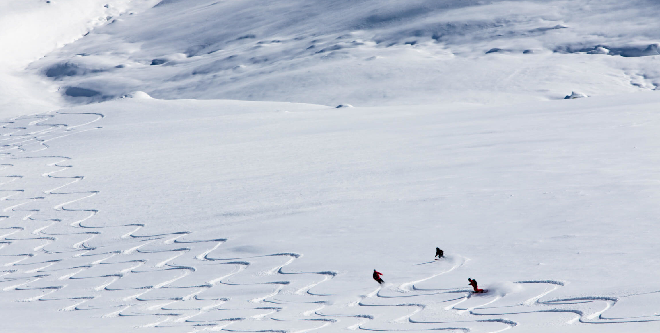
A Risk Management program for guides or other professionals working in the snow.
Powman Guide offers the exchange of information between professionals and a risk management program, tailored to your professional work.
A Risk Management program for guides or other professionals working in the snow.
Powman Guide offers the exchange of information between professionals and a risk management program, tailored to your professional work.
The programs structure and universal language allows you to exchange information with your colleagues. You can consult colleague’s information or follow the evolution of the snowpack stability of another region before you go there.
A directory gives you access to 3 types of observations:
Each observation has its own identity card. This allows you to know the type, date and location of the observation. It will give you a good indication on what the overall conditions and stability in the area, allows you to know who did the observation and what his qualifications are (guide, avalanche technicians, patrolmen, etc.)
All observations are sorted by dates with the most recent date first.
You can refine your search by using the “Filter” function to select a country, a region, a place, a date, a specific editor.
This list of observations is completed by:

A 3-step analysis:
We begin by observing the elements and interactions that affect the stability of the snowpack. Observation of the elements can be done without measuring instrument.
The analysis is structured by class of information:
Each element is evaluated separately. A stability index is assigned to each element observed.
The structure of the analysis and the multiplicity of information taken into account reduce the risk of error in the analysis.
Once the stability assessment has been completed, the overall stability of the snowpack can be visualized by color coding.
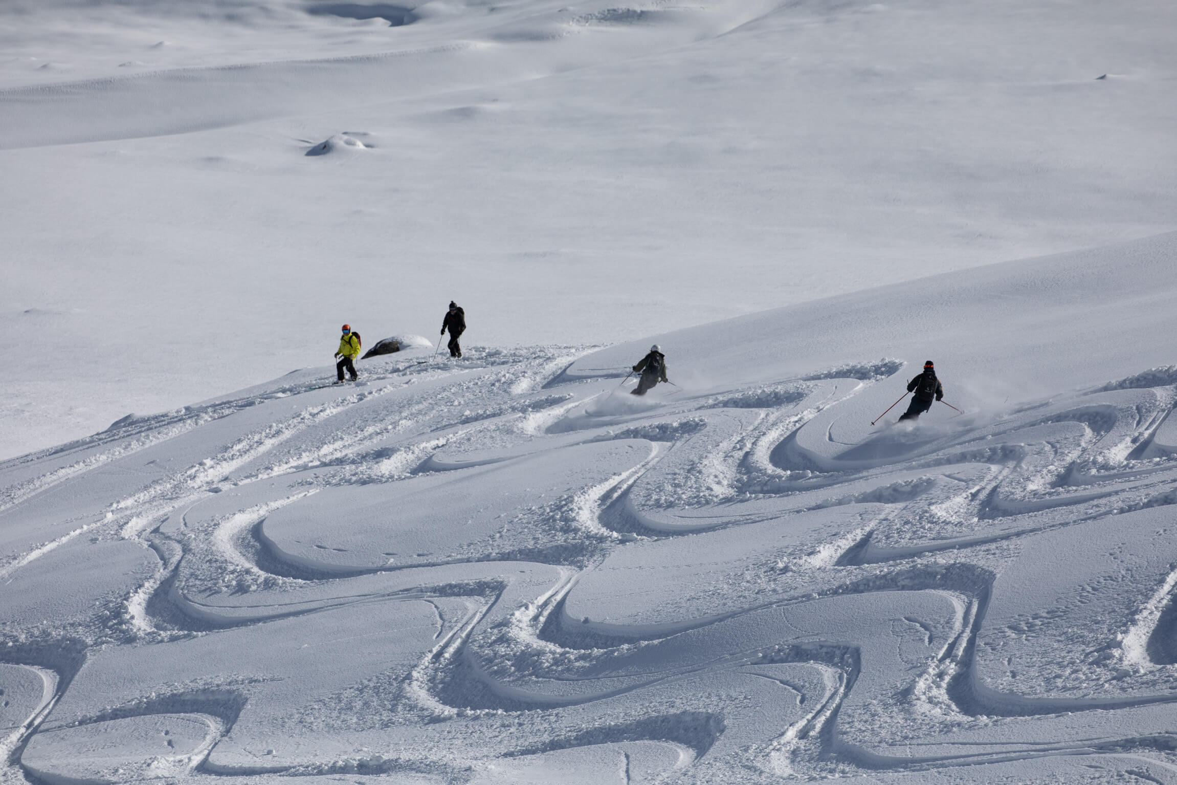
The choice of terrain on which we will venture into, is a personal choice.
Of course it is determined primarily by the stability of the snowpack, but the experience of the person (s) as well as his knowledge of the terrain will determine different choices from one person to another.
We have 2 parameters to define this choice:
Once you have determined your working environment (terrain, slope angle), you are able to give it a more accurate index of stability. For this we use the international stability scale.
It is also possible to value your definition of stability by giving it a confidence level.
“DEMO” version.
Free 30-day trial.
Full version